

 |
| The scar that is District Six. |
We passed by many downtown buildings notable for either cultural or historical reasons, but the area I want to convey details about is District Six. Back in the early 70’s, the government decided that they wanted the land upon which the District Six Township was built upon, and relocated 50,000+ residents from their homes, which were anything from a plywood shack with corrugated metal roof with rocks piled on top to keep it from blowing away in the wind, to stucco or brick/concrete block homes, very small, with bars on windows, perhaps a small fence or wall around the perimeter. The residents were re-located by the apartheid-era government to the Cape Flats, an area where no whites lived, an area of widespread townships and barren land. The area was rife with unemployment, poverty and various health issues, though this was prior to the HIV onslaught that would later ravage the country.

Demonstrations by the displaced residents continued in the leveled District Six area, so long that the government eventually abandoned plans to re-develop the site, leaving the land a bleak scar of nothingness amongst various other townships and buildings. That scar exists to this day, and is now manifested by a strip of grassland, one side of which some government housing is slowly being built, though an alarming few have been finished and occupied. Tens of thousands of people were physically removed from their homes, loaded onto buses and dumped into an area with virtually no resources nor infrastructure capable of supporting them. Positively unthinkable in this day and age (at least in the U.S.), as far worse things are currently happening in other parts of Africa that SAS chooses not to visit for obvious reasons.

 |
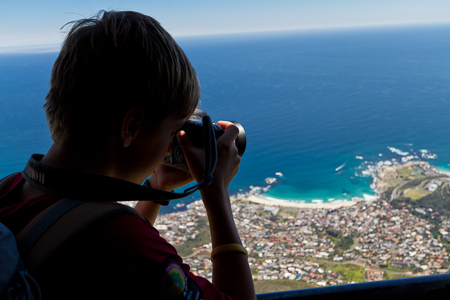
| The top of Table Mountain. |
 |
|
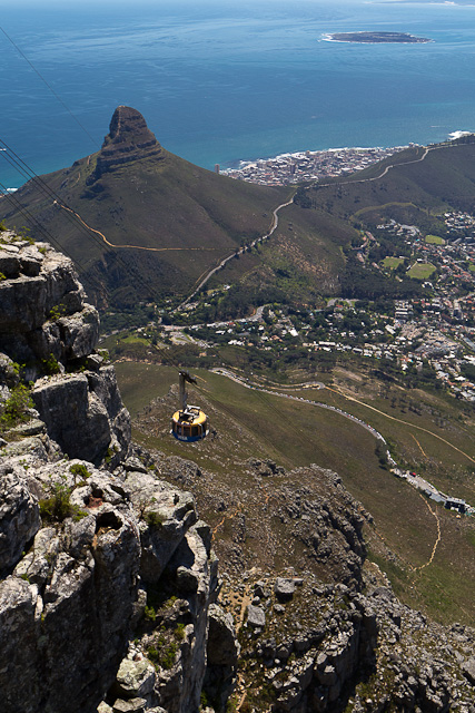
| The top of the cable car, Lion’s Head down below (you can see the trail we took to the top). |


 |
| Camps Bay Beach. |


